Search Results: summit park google maps
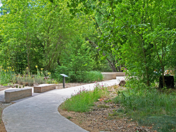
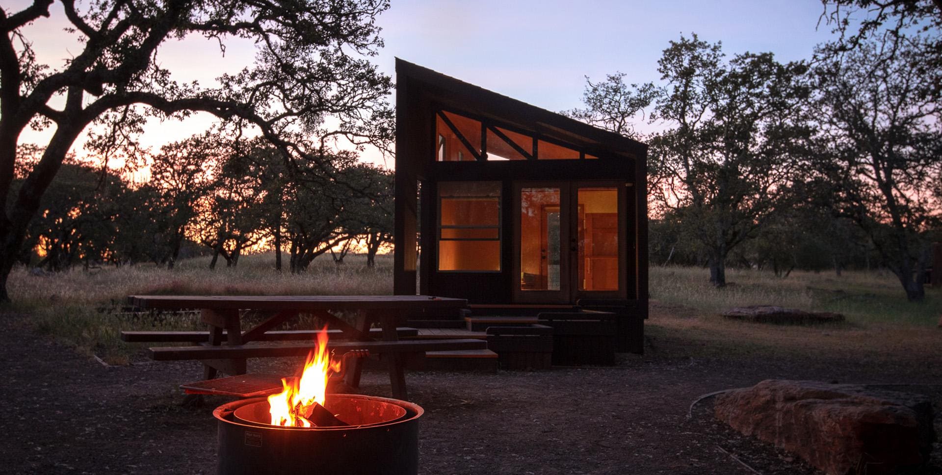
…fire pits and grills, among other amenities. Just 15 minutes up the road is Spring Lake Regional Park, which is one of Santa Rosa’s most treasured open spaces. The park…


…Park Animal Shelter. Santa Rosa provides several fenced, off-leash areas for dogs in Cook School Park (one-fifth acre), De Turk Round Barn Park (quarter acre), Doyle Community Park (quarter acre), Finali Park (one-fifth…

…of the county’s most popular parks, Spring Lake offers equestrians dirt trails surrounding the lake, crossing wooded hillsides, and connecting with Trione-Annadel State Park. Access horse trailer parking at the Newanga…

…toilets nearby. Salt Point State Park Salt Point State Park This absolutely gorgeous park consists of 6,000 acres of wooded uplands, coastal bluffs and coves. The rhythm of the dramatic,…