Search Results: summit park google maps
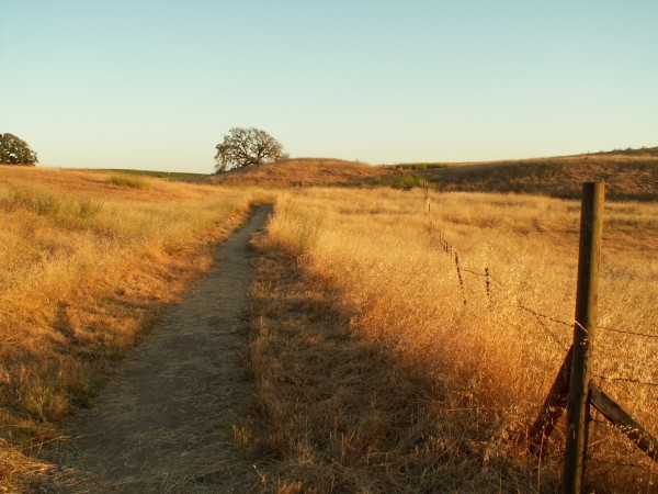

…17000 Armstrong Woods Road, Guerneville. February — Bald Mountain A steep, exposed trail leads to the summit of 2,729-foot Bald Mountain in Sugarloaf Ridge State Park. From there, forested ridgelines…


…for Sonoma County’s tourism-facing businesses – accommodations, tours, attractions – with no upfront costs. By partnering with globally recognized distribution channels like Booking.com, Expedia, Google, and more, The Exchange enables…
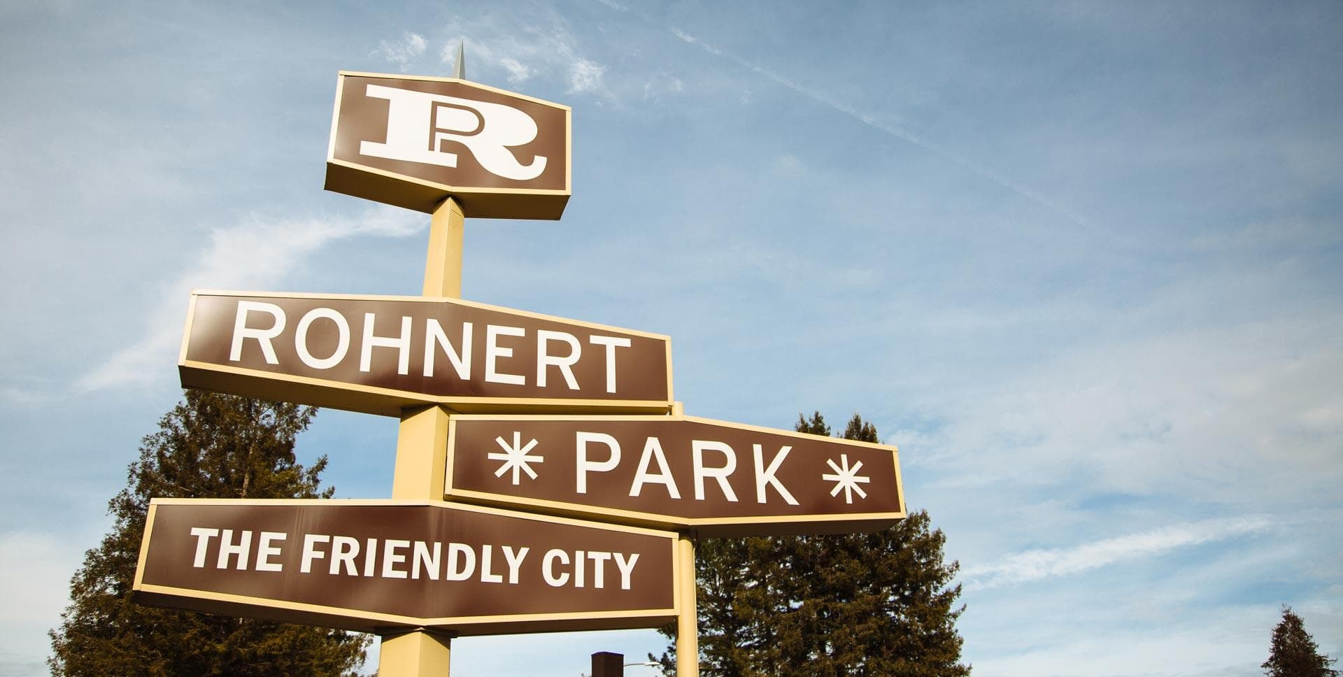
…Rohnert Park district, immediately east of Highway 101, and West Rohnert Park and North West Rohnert Park to the west (of course) of the highway. Some folks might see Rohnert Park…


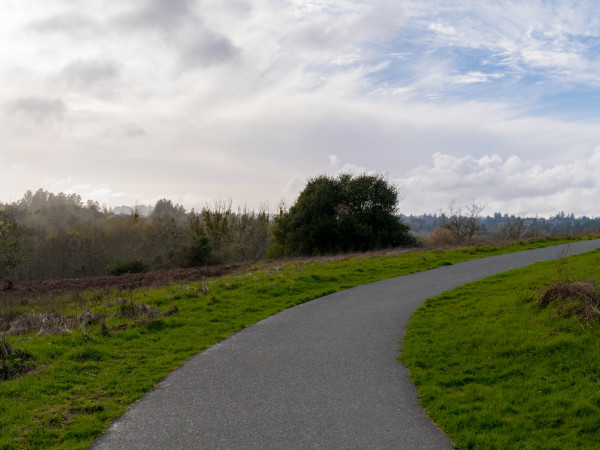
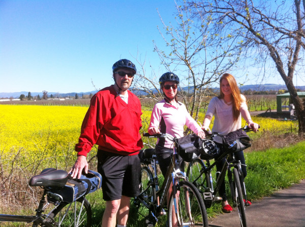
…Rosa. From paved pathways to mountainside scrambles, here are five of the area’s most popular hiking trails: Difficulty Level: Easy The Loop at Spring Lake Regional Park Spring Lake Regional Park Tucked…