Search Results: summit park google maps

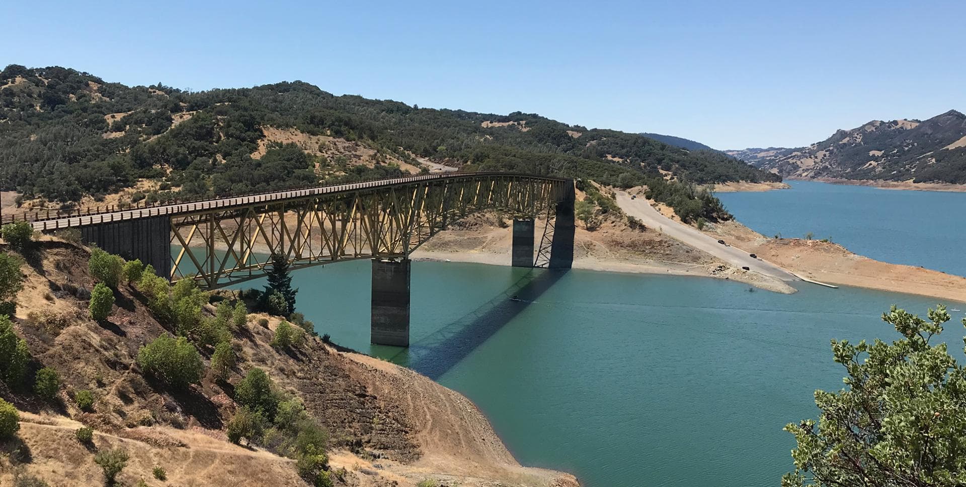
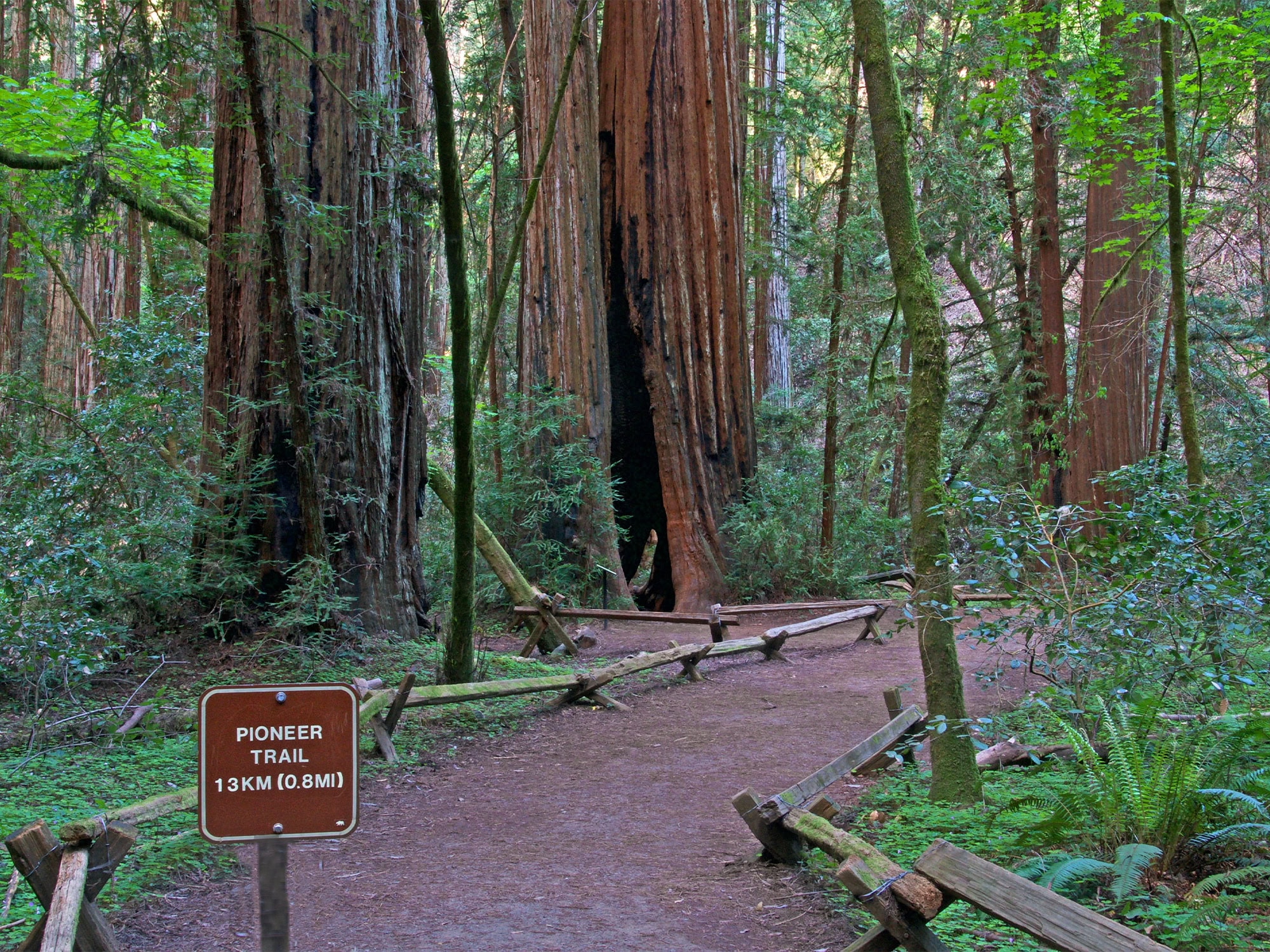
…and clouds, moon and stars. When we reach the summit, the blue waters of Lake Sonoma appear, along with another prominent symbol: A bridge. Modern bridges are engineering marvels, but…
…capture the latest sunset or stellar view. His secret spots: Tafoni formation, rocks and ocean at Salt Point State Park. (Danita Delimont / Shutterstock) “To the south of Stump Beach…
…distant past, Wingo, California, can be found on the technological platform of Google Maps, not to mention Wikipedia. It can also be found in real life, for Wingo is publicly…
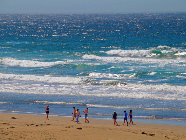
…Coast Highway.” Beaches & State Parks Sonoma Coast State Park beckons with a series of beaches and bluffs that stretch for 17 breathtaking miles. Blind Beach, Jenner, California Park and…

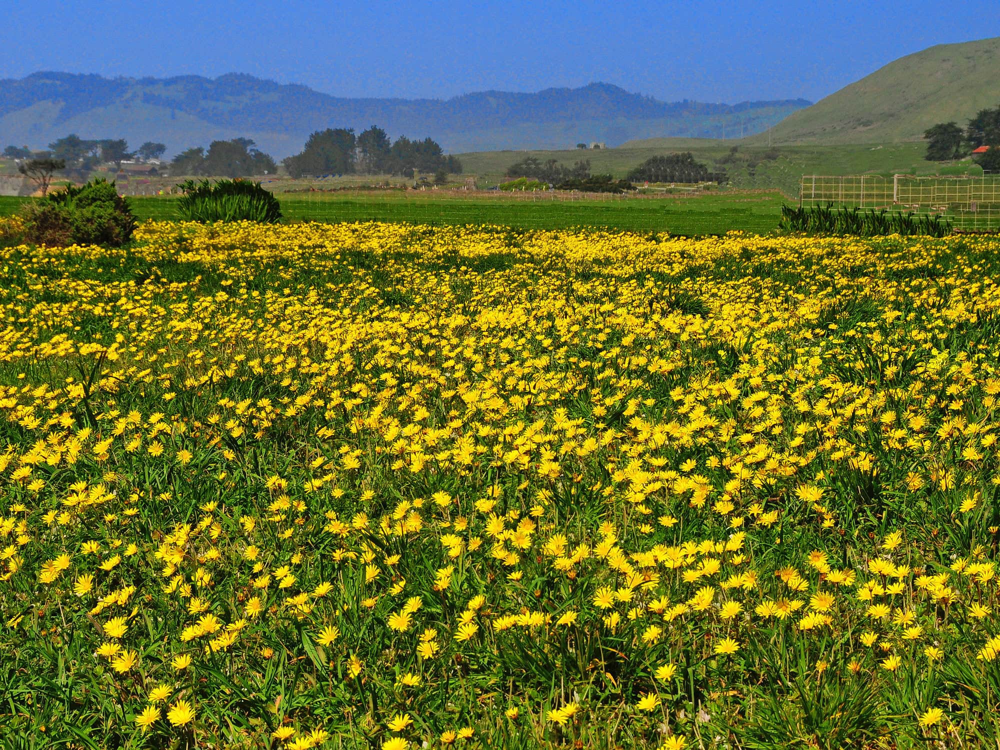
…at Crane Creek Regional Park Crane Creek Regional Park, Rohnert Park, California Best known for abundant springtime wildflowers, the 128-acre Crane Creek Regional Park is spectacular. Tucked in the rolling meadows…

…park’s website. Fort Ross State Historic Park Fort Ross State Historic Park Fort Ross is a California State Historic Park showcasing a Historic Landmark Russian-era fort. Located 11 miles north…
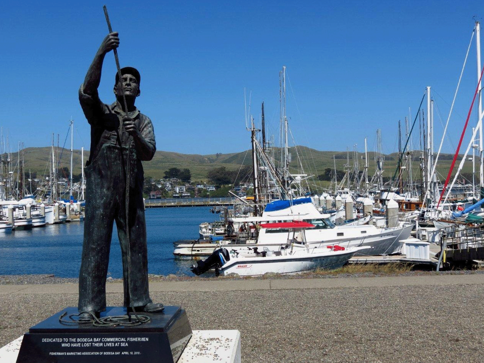
…50 AMP electrical service, Wi-Fi, and more. Doran Regional Park, Bodega Bay Doran Regional Park, Bodega Bay, California A two-mile stretch of sandy beach makes Doran Regional Park a popular…

…not available at the park, so be sure to bring your own. Dogs are not allowed on trails. Parking is $7; free for Sonoma County Regional Parks members. 5297 Sonoma Mountain Road,…
…forests, scrub thickets, and salmon habitats. Bring lunch, as the park contains a picnic area with barbecue grills. 5. Sonoma Valley Regional Park, Glen Ellen Sonoma Valley Regional Park, located…