
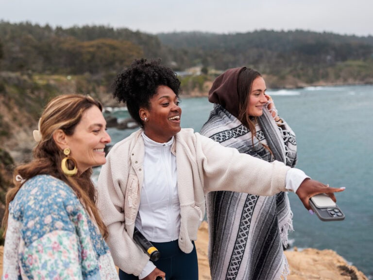
Discover Sonoma Coast State Park
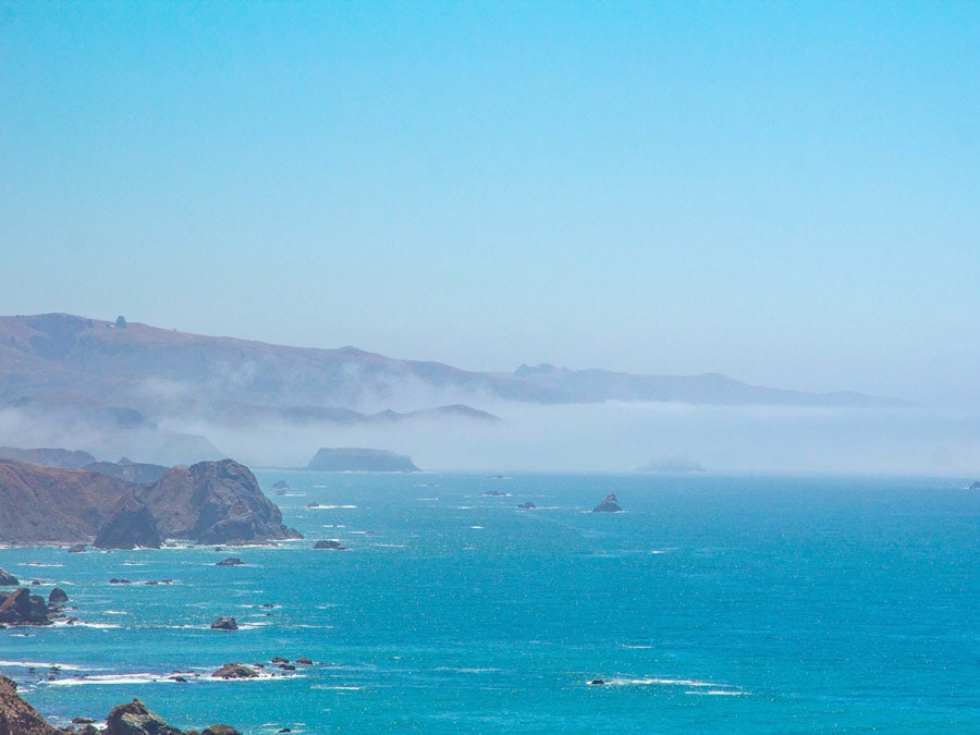
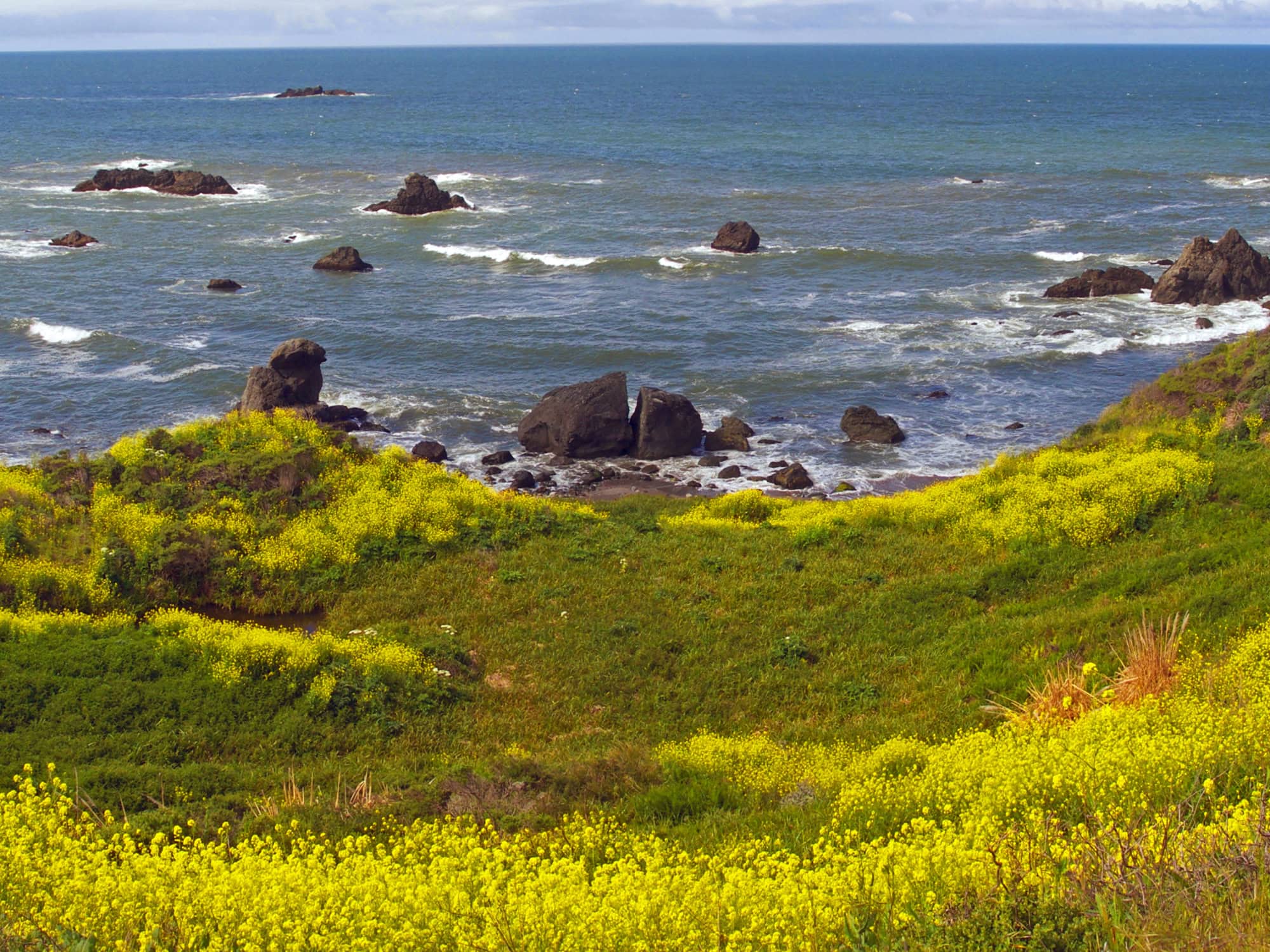
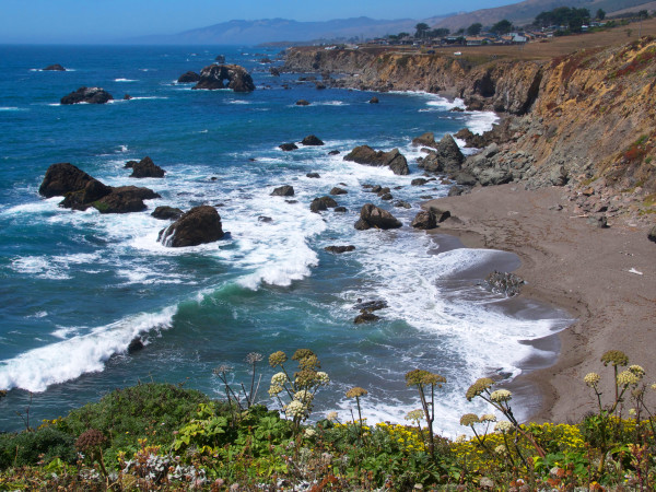
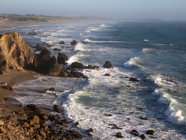
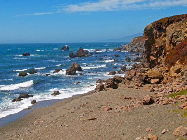
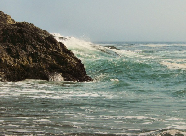
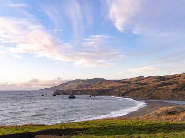
You’ll want to linger in Sonoma Coast State Park, with its rocky bluffs, sandy beaches, hidden coves, and stunning views along 17 miles of Pacific Ocean coastline in Northern California’s Sonoma County.
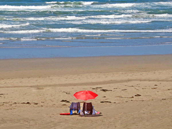
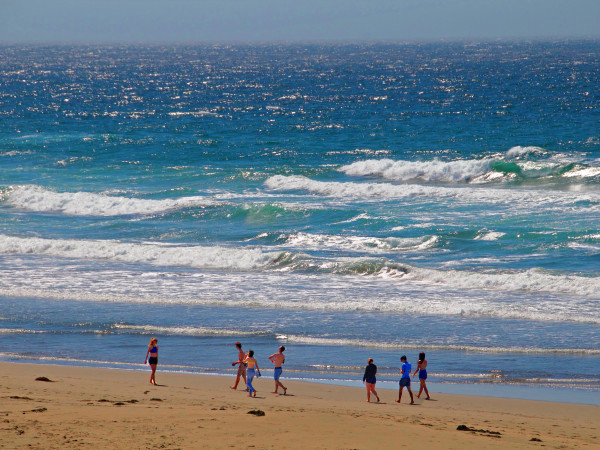
Beachcombing, sunbathing, picnicking, fishing, camping, boating, kayaking, hiking, horseback riding, and bird watching are all popular activities in this amazing park, which stretches along Highway 1 from Bodega Bay north to the town of Jenner.
Here’s everything you need to know about this park and its rugged, natural splendor.
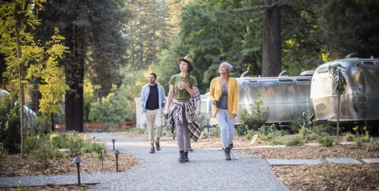
Plan for Fun
Cool ocean breezes make the Sonoma Coast a summer haven from inland heat. Coastal weather can bring morning fog, particularly in summer, which burns off by midday. Bring layers of clothing.
Stewards of the Coast & Redwoods often offer docent-led tours and special events in Sonoma Coast State Park — check their upcoming events & programs.
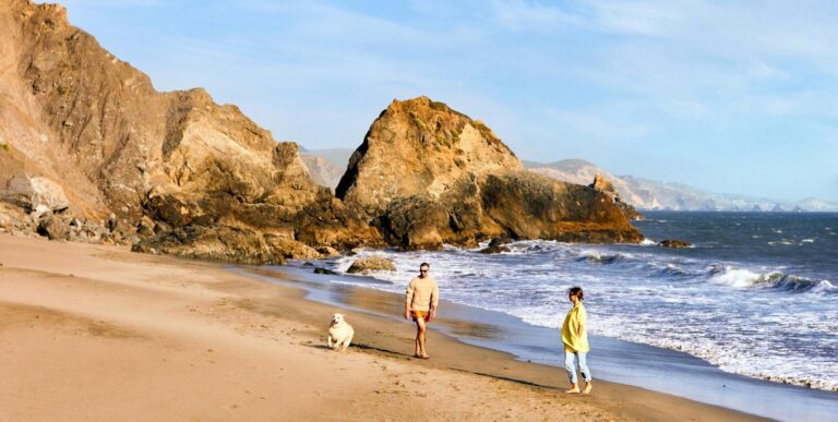
It’s not safe to swim at this park due to rip currents, sudden swells, and water temperatures. (To wade and swim, try nearby Doran Regional Park, a two-mile-long sandy beach within the protective Bodega Bay.)
If you bring man’s best friend, know that dogs on leashes no more than six feet long are allowed in some but not all parks in Sonoma County, California.
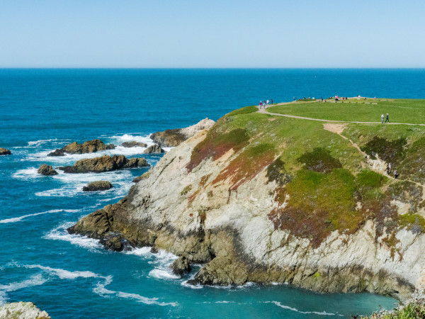
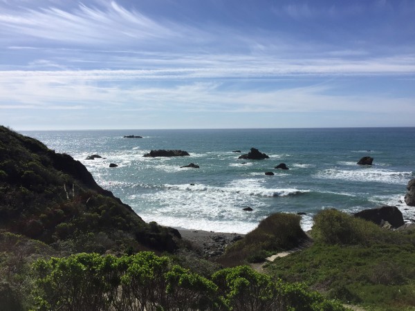
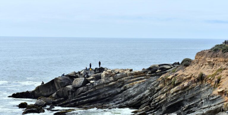
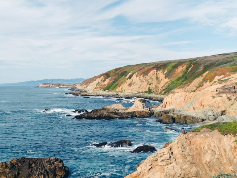
Bodega Head, Bodega Bay

A rocky peninsula that forms the entrance into Bodega Harbor, Bodega Head is a popular whale-watching spot because of its stunning views. From Highway 1, the bluff-top parking lot for Bodgea Head offers trails that circle the bluffs and also lead to beaches in hidden coves. Find more details about exploring Bodega Head.
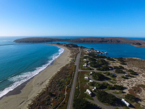
Bodega Dunes Campground, Bodega Bay

Explore this vast and remote beach with its trails through sand dunes, all open to hikers and some to horseback riders. An accessible path and boardwalk lead to a viewing platform and beach. Bodega Dunes offers 99 campsites (mostly tucked under the trees), token-operated hot showers, flush toilets, a potable water fill station, and a trailer sanitation dump station.
South Salmon Creek Beach and North Salmon Creek Beach, Bodega Bay

These two side-by-side beaches are where a lagoon forms — one beach runs south of the creek, and the other stretches north. Here you can wander nearly two miles of scenic, sandy beach. This is a great place for surf fishing, beachcombing, and picnicking — and if the waves are good, it’s also popular with the surfing community. Birds and seals sometimes gather at the sand spit. No dogs, horses, or fires are allowed.
Miwok Beach, Bodega Bay

A short trail with a small wooden bridge over a creek takes you down to the beach, which is named after the Coast Miwok Native Americans who lived in southern Sonoma County long ago. It’s best to visit at low tide, as the narrow shoreline will be mostly wet at high tide. Just to the south is Coleman Beach, which can only be reached by walking from Miwok Beach at lower tides.
Arched Rock Beach, Bodega Bay
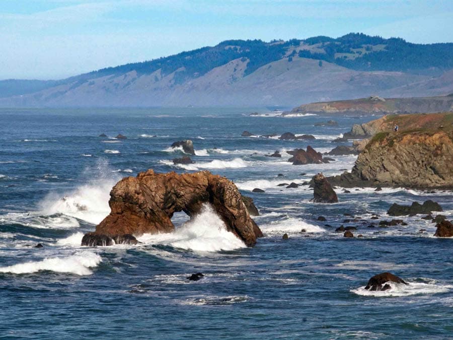
From the signed parking lot on Highway 1, there’s a path to this beach that requires a bit of a scramble, and is best attempted when it’s dry. From this beach, look to the north and find the big rock with a hole in it that gives this place its name.
Marshall Gulch, Bodega Bay

A short hike down the embankment from the parking lot on Highway 1 takes you to this small, popular fishing beach, located where Marshall Gulch Creek reaches the Pacific Ocean. At low tide, you can walk between the rocks to other small coves.
Carmet Beach, Bodega Bay

Steep trails take you from the parking lot along Highway 1 down to this narrow, rocky, fishing beach. The southern cove is the widest and sandiest, and connects to Marshall Gulch Beach. The northern cove extends north along a narrow boulder-filled shoreline that continues up to Schoolhouse Beach. It’s best to visit at low tide because high tide brings rough ‘sneaker waves’ to narrow shorelines like this.
Schoolhouse Beach, Bodega Bay

Rock fishing and surf fishing are popular activities on this stretch of sandy beach, with a large parking lot just off Highway 1. It’s best to visit at low tide.
Portuguese Beach, Bodega Bay

Popular for rock and surf fishing, this sandy beach is best visited at low tide. From the main parking lot, you can walk out onto a grassy point and watch waves crash on the rocks. There is another pullout parking area just north on Highway 1 that has a steep path to the center of Portuguese Beach.
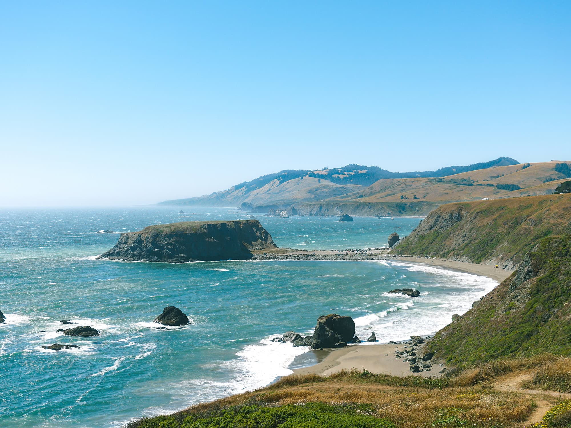
Duncan’s Landing, Bodega Bay

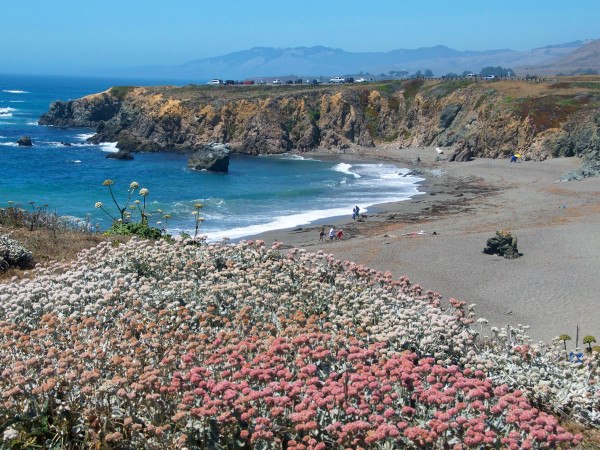
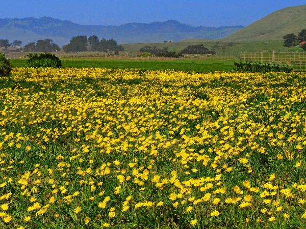
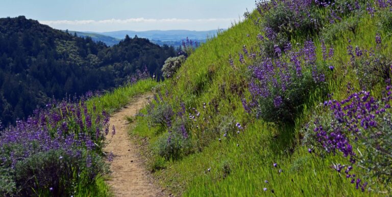
Duncan’s Landing is famous for two things: It was an early-day landing for loading coastal ships with lumber and food, and for being the most dangerous point on this part of the coast due to unpredictable surf (waves can come up as far as the parking lot). Heed all signs and stay off the rocks. Follow steep trails from the landing parking lots on Highway 1 to Duncan’s Beach below. In the spring, wildflowers here are spectacular.
Gleason Beach, Bodega Bay

From the south part of the Duncan’s Landing parking lot on Highway 1, there’s a steep trail down to this narrow, rocky beach. It’s best to visit at low tide, when you can walk in and out of the huge sea stacks (massive vertical columns of rock) that dot the shoreline. At the north end of Gleason Beach is Rock Point, a pullout picnic area just off Highway 1.
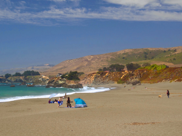
Wright’s Beach, Bodega Bay
Located at the edge of a pleasant sandy beach, Wright’s Beach Campground offers 27 popular campsites (many with ocean views) for tents or RVs. Maximum trailer length is 27 feet; no hookups are available. Each site has picnic tables, fire rings, and paved parking. Running water and flush toilets are nearby. There are no showers, but campers may use the hot showers at nearby Bodega Dunes Campground. Reservations are recommended.
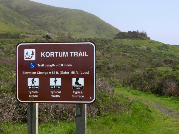
Kortum Trail, Sonoma Coast
This relatively easy bluff-top trail winds through coastal prairie from Wright’s Beach to Blind Beach (about 4.5 miles one-way), offering sweeping views of the ocean and offshore sea stacks (massive rock columns). Much of this trail runs along a double-plank wooden walkway that crosses wetlands. For the more adventurous, there are optional side trips down to the beach or up trailside rock outcroppings. You can pick up the Kortum Trail from Wright’s Beach, Shell Beach, or Blind Beach.
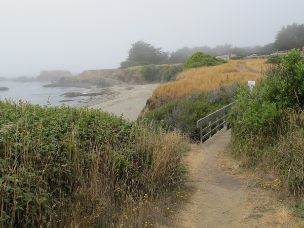
Shell Beach, Jenner

This narrow, rocky beach is great for beachcombing and exploring tide pools. Getting to the beach requires a short hike down a steep path. The trail can be slippery when wet, so bring shoes with traction. Fishermen enjoy this area for its variety of fish, and the Kortum Trail runs along the bluff here, offering incredible views. The parking lot is off Highway 1 just south of Pacific View Drive.
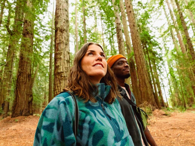
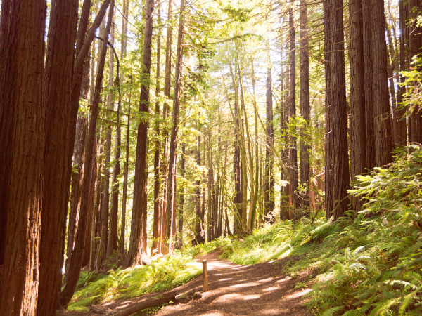
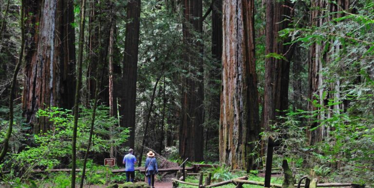
Pomo Canyon Trail, Duncans Mills

Covering 6.2 miles round trip (out and back), with an elevation change of 650 feet, this dramatic trail takes you from pounding surf to towering redwoods, and from ridge-top vistas to ferny dells. Following an ancient trading route of the Pomo and Miwok people, the trail begins at Shell Beach and travels upward into a redwood forest with a waterfall. Rated moderate, this gorgeous hike starts with long, steady uphill segments, levels off along the ridge, and then drops steeply into Willow Creek. The gorgeous scenery is worth the climb.
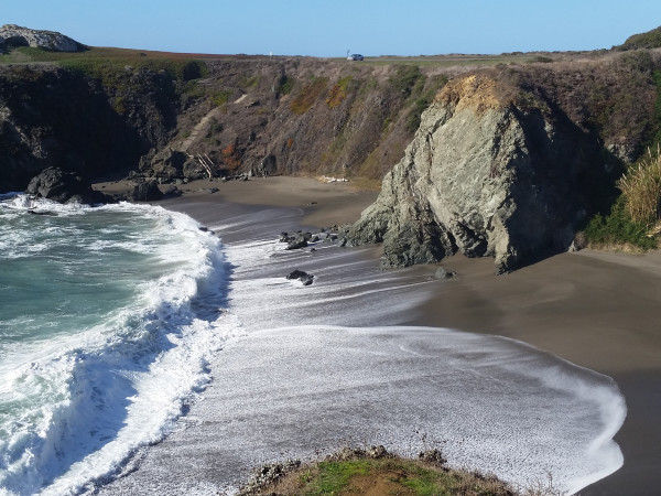
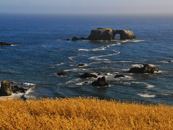
Blind Beach, Jenner
This long, narrow beach is great for beachcombing and fishing, and offers a good view of the arched rock. To reach Blind Beach, turn onto Goat Rock Road, which is about one mile south of the Russian River Bridge. There’s an upper parking lot with a steep, narrow trail that descends to Blind Beach. This beach is the northern end of the Kortum Trail.
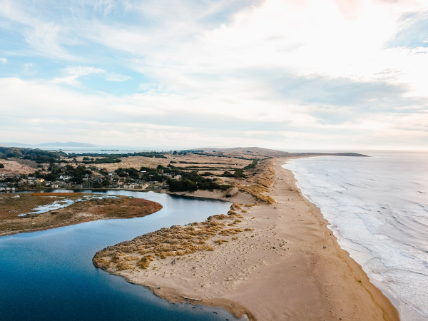
Goat Rock Beach, Jenner

Located near the mouth of the Russian River, Goat Rock Beach is known for its scenic shoreline and easily accessible sandy beach. It offers picnic tables and restroom facilities, and is home to a colony of harbor seals. Discover more about marine wildlife at Goat Rock Beach in Sonoma County.
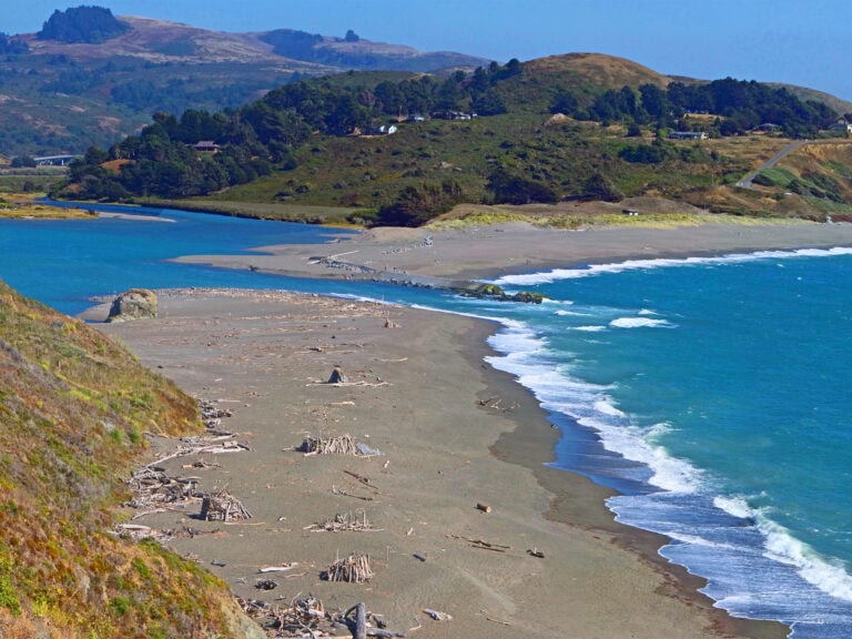
Jenner Beach, Jenner

A few steep paths lead to this driftwood-covered beach on the north side of the mouth of the Russian River. When the river is not flowing through the beach, you can reach Jenner Beach by walking north from Goat Rock Beach (stay 50 yards from the harbor seal colony). There’s a boat launch at the Jenner Visitor Center, making Jenner Beach a good pull-out spot when exploring the river by small watercraft.
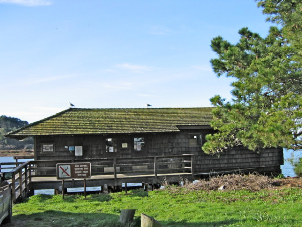
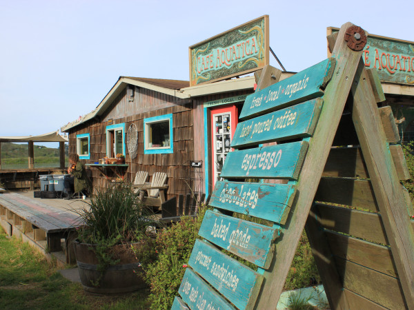
Jenner Visitors Center, Jenner
This visitor center is fun to visit with its interpretive displays on local history, flora, and fauna, a wonderful nature store, and information on local lodging, restaurants, and activities. There’s a deck with great views of the water, and a boat launch for small craft. Typically open on weekends in winter and daily in the summer.
Next door, you can get a casual, organic meal and a hot cup of coffee at Café Aquatica. Sip and relax at Tasting by the Sea wine bar with great views from the outdoor deck, and browse at Jenner Sea Gifts & Wine.
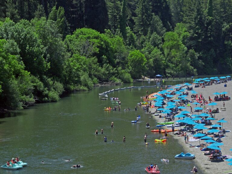
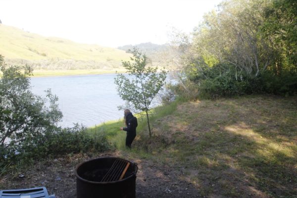
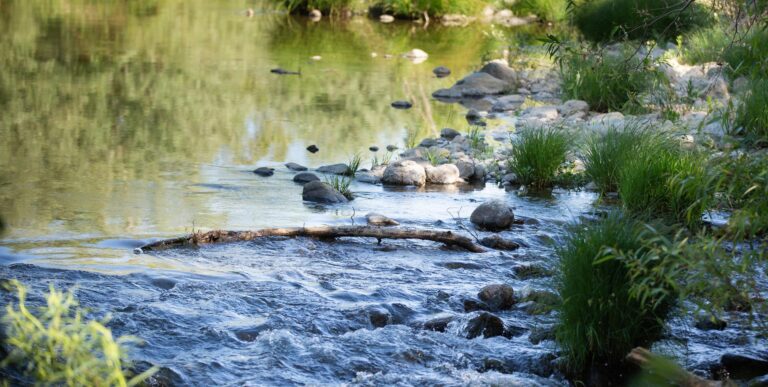
Willow Creek Campground, Duncans Mills
This seasonal campground along the Russian River offers 11 first-come, first-served primitive campsites, with fire rings, picnic tables, and pit toilets. (No water available onsite; no dogs allowed.) These walk-in campsites are within a quarter mile of the parking lot. They are relatively close to a large beach for swimming and fishing. Blue herons, egrets, ospreys, and occasionally river otters can be seen along the river.
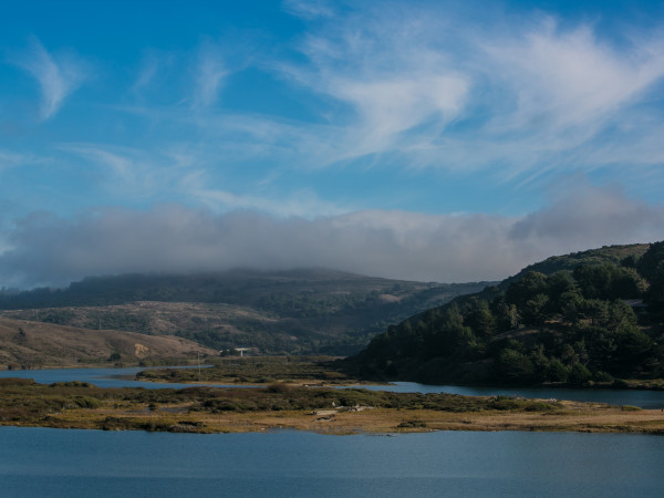
Russian Gulch, Jenner

Just north of Jenner, where Russian Gulch Creek flows into the Pacific Ocean, this pebbly beach is in a deep cove with high rocky headlands towering overhead. The parking lot is just north of the Highway 1 bridge over Russian Gulch. From the lot, one hiking trail leads down to the creek bed, and one goes straight to the beach. There’s a strong rip current here and no swimming at most of these beaches — check websites for current details.
Vista Point Overlook, Jenner

At the northernmost end of Sonoma Coast State Park, this high-ocean-overlook doesn’t offer beach access, but it does offer a gorgeous view, a picnic area, and a one-mile scenic trail called the Vista Trail Loop. This is a popular spot for whale watching during the migration season. The trail and the overlook are handicapped accessible.
More Possibilities
Located next to the Sonoma Coast State Park, the Jenner Headlands Preserve includes 5,630 acres of redwood and Douglas fir forests and coastal prairie overlooking the Pacific Ocean. The property includes incredible views and about 14 miles of hiking trails, which are mostly old ranch and fire roads. The parking lot includes restrooms and access to a 400-foot accessible vista trail. There’s also a challenging 15-mile round-trip trail to the adjacent Pole Mountain.
For more about what to see and do, check out 5 Fun Things to Do in Bodega Bay and 48 Hours in Jenner on the California Coast.
Discover 10 Unique Hotels and Inns on the Sonoma Coast, or check the complete listings of Hotels, Motels & Lodges in Sonoma County, California.
Find Top Seafood Restaurants in Bodega Bay or browse the list of restaurants in Sonoma County Wine Country.
Together, we can protect and preserve the beauty and natural resources of Sonoma County for generations to come. Check out our page on Sustainable Travel, and look over the Leave No Trace Seven Principles.


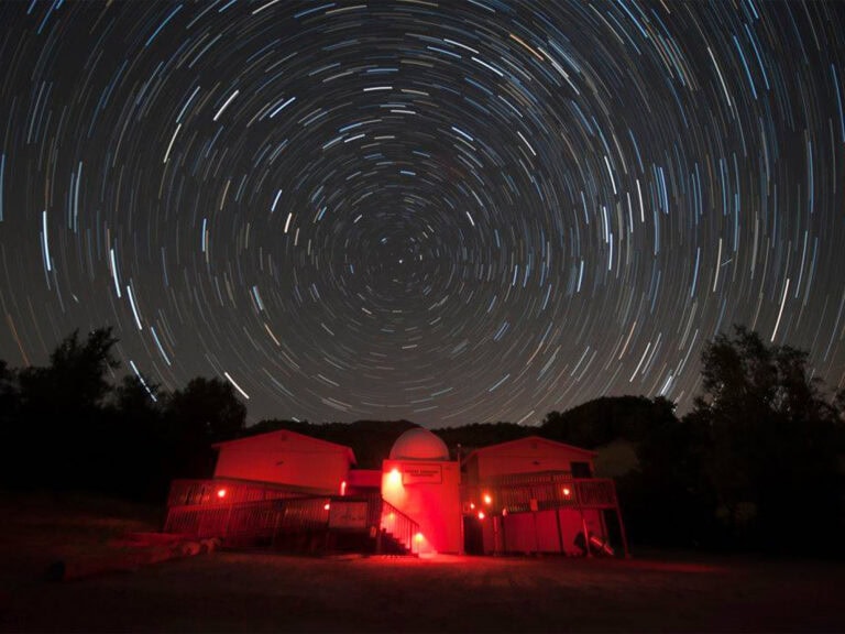
When the sun dips behind the Mayacamas Mountains, night becomes the destination in Sonoma County. Noctourism adventures here include stargazing…
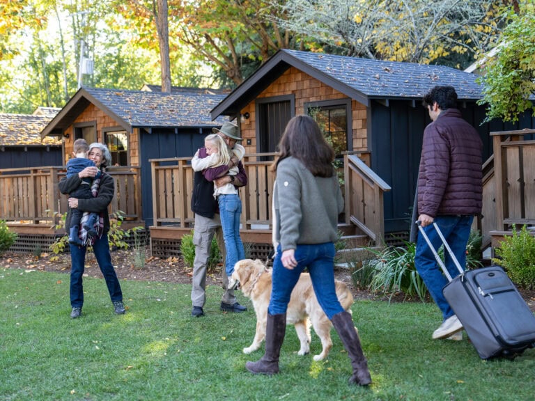
For your next family getaway, whether that’s a small group or an extended, multi-generational family reunion, don’t overlook family-friendly Sonoma…
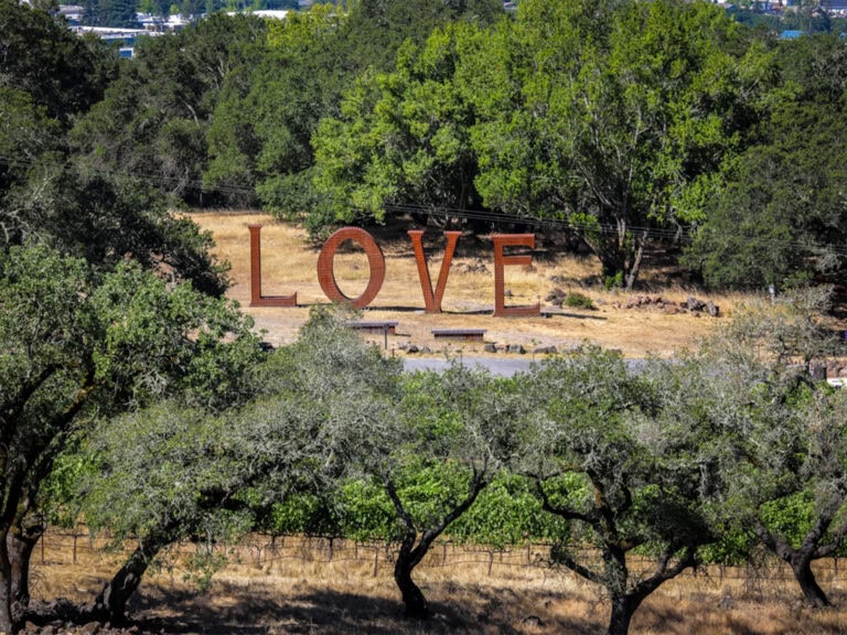
More than just a premier Wine Country destination, Sonoma County can have a profound impact on a traveler’s emotional wellbeing,…
Without a doubt, Wine Country is one of the world’s most breathtaking regions to travel through whether you are looking…
Winter might be considered the off-season for many of the world’s hottest travel destinations, but a Wine Country visit between…
Springtime offers a brilliant array of things to see and do in Sonoma County, from wildflower walks to cheese crawls!…
Find hidden gems, outdoor adventures and more with tips from those who know the coast better than anyone: The locals….
The term “ghost wineries” may conjure images of restless spirits wandering winery corridors, but it doesn’t refer to haunted vineyard…
As a premier wine and food destination, Sonoma County attracts travelers seeking a getaway that feeds the senses, connects people…
It can be hard to venture off our usual retail route, which, lately has been dotted with a lot of…
Visitors travel from around the world to take in the stunning beauty of Sonoma County’s great outdoors. It’s an experience…
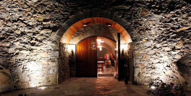
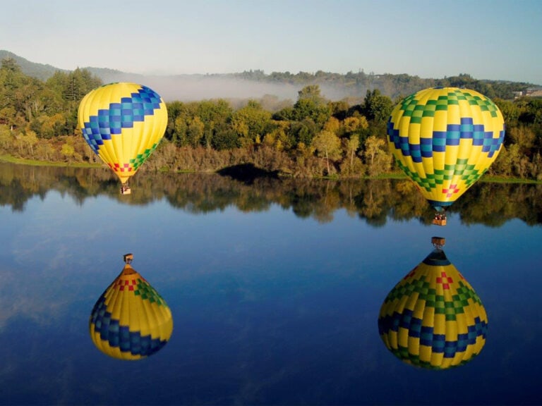
In a place known for both idyllic landscapes and world-class beverages, it’s only fitting to combine the two during a…
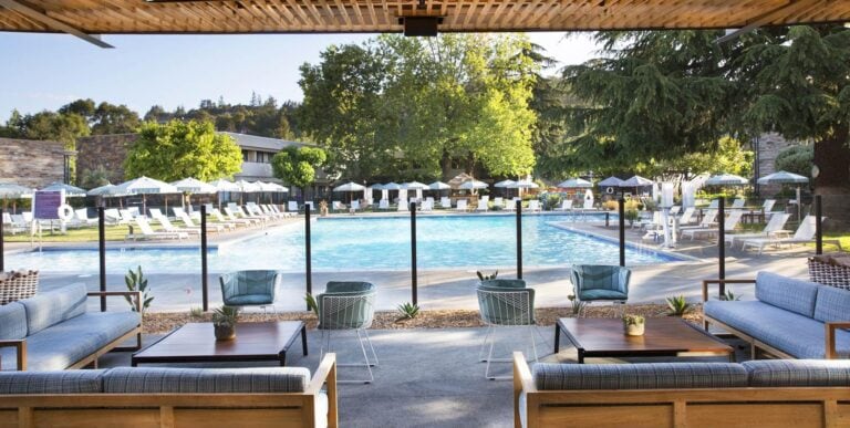
Whether your family enjoys relaxing by the pool, spending ample time in the great outdoors, or discovering local shops and…
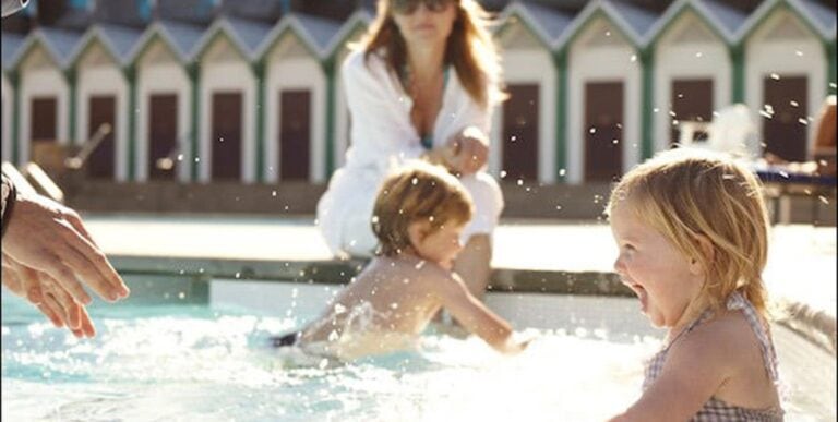
Just because you’re visiting a winery doesn’t mean you have to leave your kids at home! From swimming pools and…
Twice each year, some 20,000 gray whales pass along the California coast as they swim south to breeding lagoons on…
This portion of our guide to the Russian River Valley follows the lazily meandering river on its journey through northern Sonoma County as…
This final portion of our guide to the Russian River Valley continues west to where the Russian River meets the coast…
This portion of our guide to the Russian River Valley follows the Russian River as it ventures into redwood country. On this leg of…
Every activity in Sonoma County offers the opportunity for small pauses. Whether you’re exploring the redwoods, floating down the Russian…
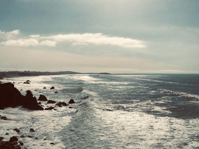
With breathtaking views, sandy beaches and picturesque towns forming Sonoma County’s western border, a drive down Hwy. 1 is more than…
THIS IS WINE COUNTRY.
Share your experience using #SonomaCounty or #LifeOpensUp