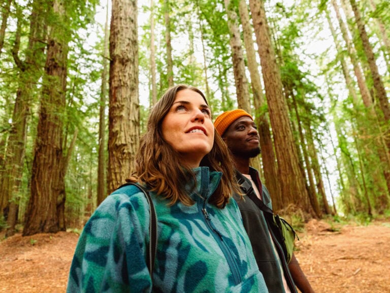


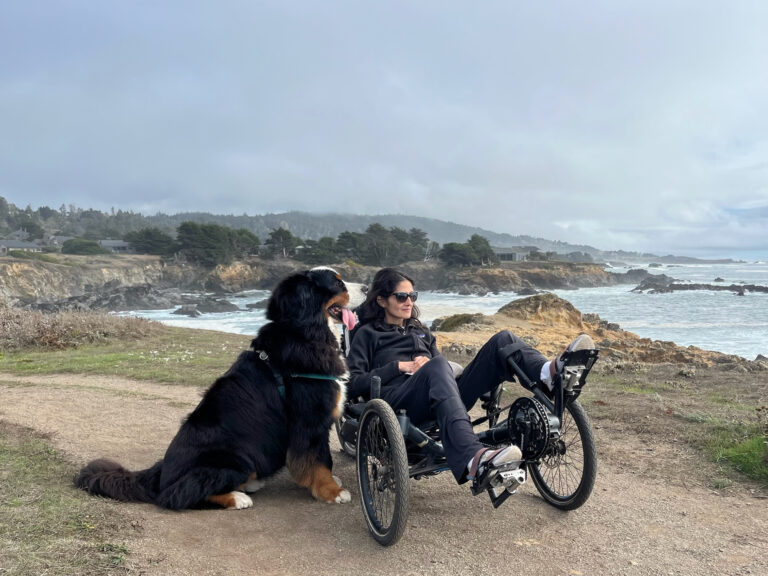
Hiking: San Pablo Bay National Wildlife Refuge
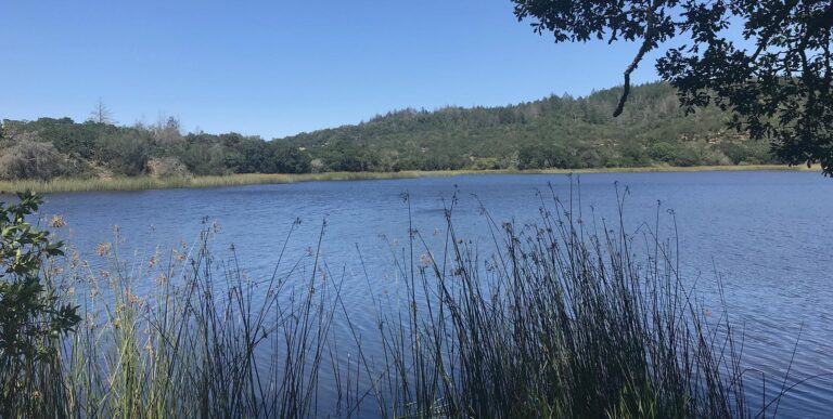
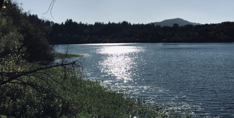
The trails at the San Pablo Bay National Wildlife Refuge offer some of the most rewarding hikes in Sonoma County, California. With its bay, tidal marsh, mud flats, wetland habitat, and open water, this refuge supports a diverse population of birds, mammals, fish, and plants, making it a wonderful place to explore.
Here is a handy guide to visiting the San Pablo Bay National Wildlife Refuge in Sonoma, California.
The Wildlife
This scenic spot is home to a large population of resident birds year-round. In addition, the refuge is an important location on the Pacific Flyway, so visitors will see an array of migrating birds, especially during late fall through early January, when wintering waterbird and shorebird species stop by to grace the scenery.
This is truly a protected refuge for many species at risk of survival. A great many birds here are considered by the U. S. Fish & Wildlife Service to be “species of conservation concern.” Some, like the California Clapper Rail and Least Tern, are listed as both state and federally endangered. The Delta Smelt is a fish here that is listed as threatened on both the state and federal lists.
The Nature Trails
The San Pablo Bay National Wildlife Refuge is open year-round during daylight hours, and while dogs are not allowed here, trails are open to human hikers.

Tolay Creek/Lower Tubbs Trail
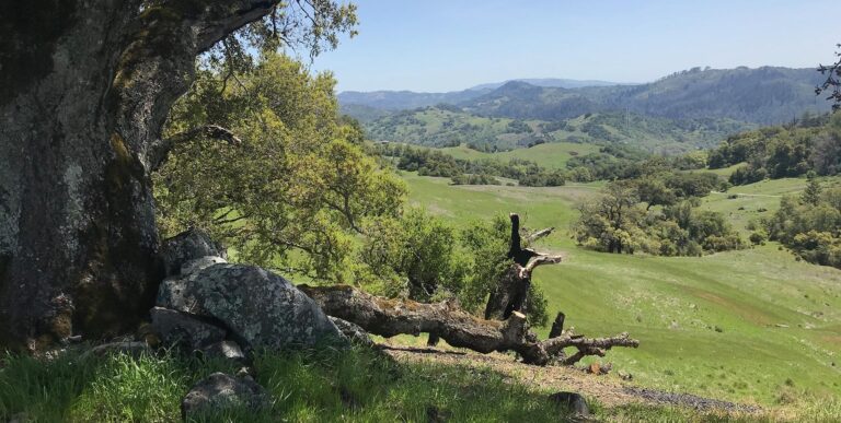
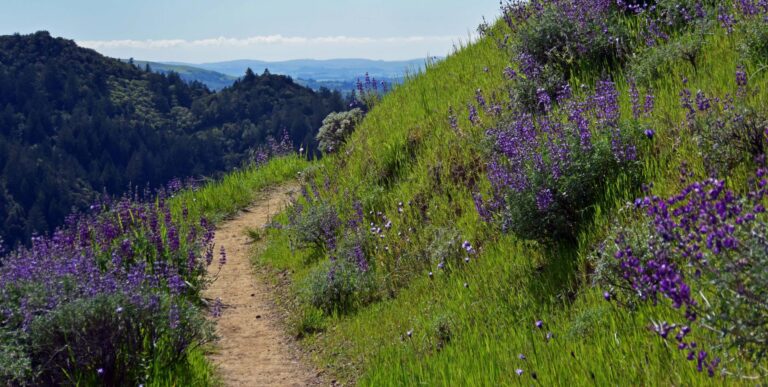
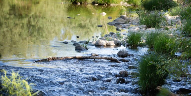
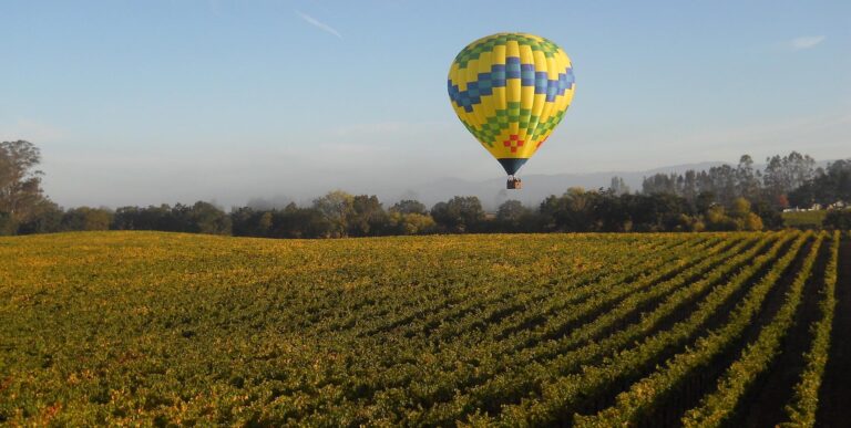
The longest trail in the refuge, the 8.1-mile Tolay Creek/Lower Tubbs Trail, is flat and graded, making it perfect for easy hiking through truly beautiful landscapes. On clear days, you can see the surrounding mountains of Marin County, the East Bay, and Sonoma, and possibly even the bridges of San Francisco.
The trailhead and a small parking lot are located off Highway 37. Park your car, walk down the dirt road past the trailhead gate, and follow the Tolay Creek levee past broad agricultural lands.
In late fall, these are typically plowed and empty, stretching east as far as you can see, often under a vast blue sky. As you walk, marshy areas begin to appear. The ubiquitous and salt-tolerant pickleweed, bright green in summer, turns red and orange in the fall.
Keep an eye out for smallish birds with long beaks poking around the shallows, snow-white egrets standing aloof, or flocks of ducks moving across deep waters or taking refuge in tall reeds.
Trail note: Some maps may show the Lower Tubbs Island portion of the trail as a loop, but the 2014 South Napa Earthquake tore a breach in the levee, making two sections of the loop trail impassible. The U.S. Fish & Wildlife Service decided that this breach was best for the wetlands, and the current trail map shows the trail as it is today, without the loop section.

Cullinan Ranch Trail
Once part of a former 1,500-acre oat hay ranch in the 1800s, today the 1.3-mile Cullinan Ranch Trail meanders through an extensive tidal marsh restoration project.
The parking lot is west of Mare Island on Highway 37. From there, the trail heads north until you reach South Slough, offering views of Cullinan Ranch to the east and a pond to the west, with numerous waterfowl and shorebirds foraging and resting.

Sears Point Trail
The parking lot at 7699 Reclamation Road offers access to four trails:

- Sears Point Trail (1.3 miles) leads to the headquarters with views of oat hay fields that create seasonal wetlands.
- Eliot Trail (2.5 miles) is one section of the San Francisco Bay Trail, a planned 500-mile walking and cycling path around the entire San Francisco Bay. The Eliot Trail offers views of the Sears Point Wetland and Watershed Restoration Project.
- Dickson Trail (0.3 miles) runs south on the levee, providing views of the Sonoma Baylands to the west and the Sears Point Restoration Project to the east.
- Sonoma Baylands Trail (1.4 miles) provides views of tidal marsh vegetation in the Sonoma Baylands. This trail can also be accessed at Port Sonoma Marina Boulevard, 1.5 miles west of Reclamation Road.
As previously mentioned, San Pablo Bay National Wildlife Refuge is open year-round during daylight hours. Human hikers are permitted on the trails, but dogs are not allowed.
Nearby Attractions
Sonoma Raceway is a year-round motorsports complex with events scheduled throughout the year.
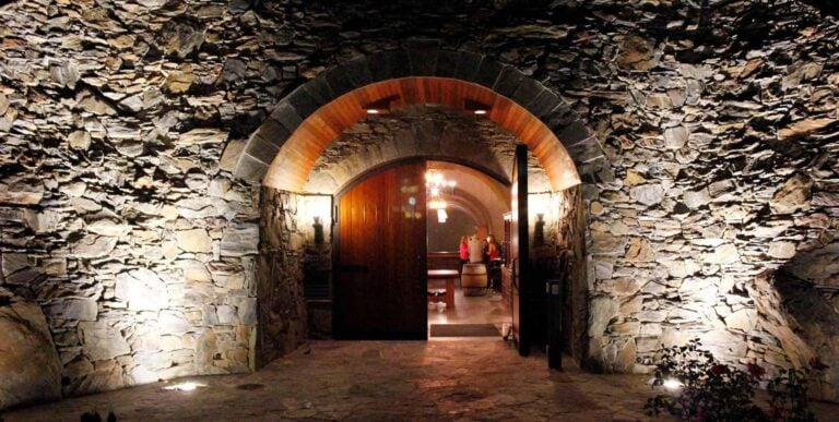
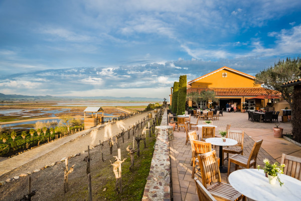
Do a little wine-tasting after your hike(s) at two fabulous Carneros AVA wineries in this area: Ram’s Gate Winery and Viansa Sonoma.
To discover other great area hikes, check out our Guide to Hiking in Sonoma County. Find more things to do, restaurants, and hotels & lodging in Sonoma County.

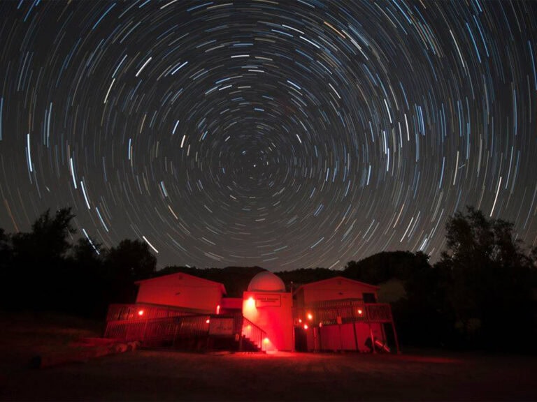
When the sun dips behind the Mayacamas Mountains, night becomes the destination in Sonoma County. Noctourism adventures here include stargazing…

Winter might be considered the off-season for many of the world’s hottest travel destinations, but a Wine Country visit between…
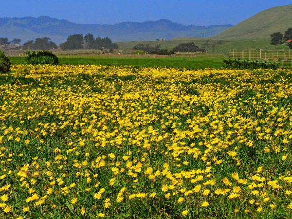
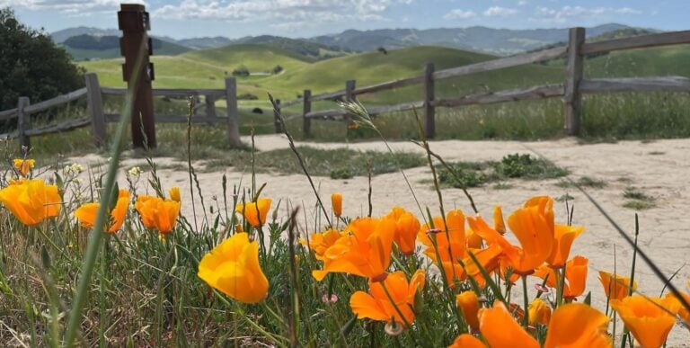
Springtime offers a brilliant array of things to see and do in Sonoma County, from wildflower walks to cheese crawls!…
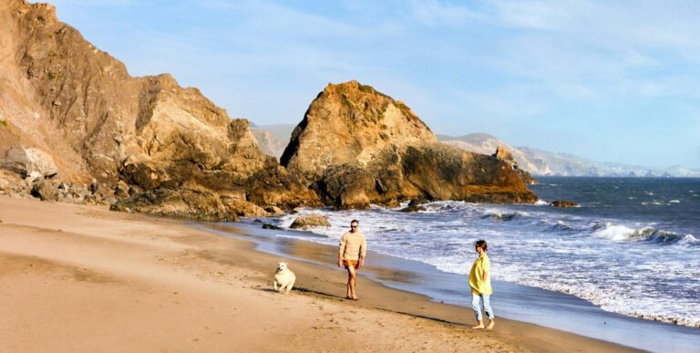
Find hidden gems, outdoor adventures and more with tips from those who know the coast better than anyone: The locals….
As a premier wine and food destination, Sonoma County attracts travelers seeking a getaway that feeds the senses, connects people…
Sonoma County is more than just a travel destination. The Sonoma County experience can feed your soul, enrich your life,…
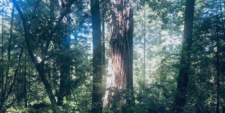
Sonoma County is an outdoor enthusiast’s dream, painted with historic redwoods and biodiverse open spaces that are ideal for connecting…
Sonoma County is the ancestral home of three tribes of Native Americans – Kasia Pomo, Wappo, and Miwok – and…
It can be hard to venture off our usual retail route, which, lately has been dotted with a lot of…
Visitors travel from around the world to take in the stunning beauty of Sonoma County’s great outdoors. It’s an experience…
Springtime in Sonoma County is an experience for all the senses. Things are just a little brighter and a little…

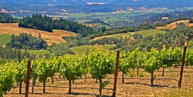
In a place known for both idyllic landscapes and world-class beverages, it’s only fitting to combine the two during a…
Sonoma County vacations provide an opportunity for longer pauses and meaningful moments of play. For generations, this has been a…
Twice each year, some 20,000 gray whales pass along the California coast as they swim south to breeding lagoons on…
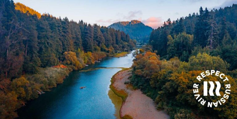
This portion of our guide to the Russian River Valley follows the lazily meandering river on its journey through northern Sonoma County as…
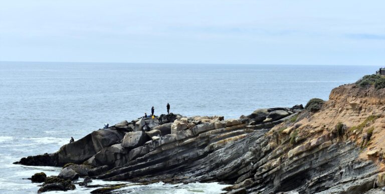
This final portion of our guide to the Russian River Valley continues west to where the Russian River meets the coast…
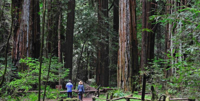
This portion of our guide to the Russian River Valley follows the Russian River as it ventures into redwood country. On this leg of…
Make your vacation days meaningful and memorable. Whether you’re traveling to a new destination or revisiting a favorite spot, when…
Sonoma County is proud to be a wildly popular destination for travelers, with some of America’s most gorgeous landscapes. Lush…
When done with intention, travel can rejuvenate your body, mind and spirit. The secret lies in the details. Take time…
THIS IS WINE COUNTRY.
Share your experience using #SonomaCounty or #LifeOpensUp