

3 Popular Bike Routes Through Sonoma Wine Country
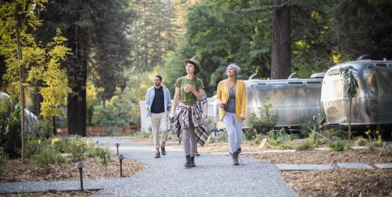
Everyone loves to cycle in Sonoma County, California as there are challenges for every level and lots of gorgeous terrain.
From paved routes along former railroad tracks to paths through vineyards and along the coast — Sonoma County is a cyclist’s dream.
Here are three fun bike itineraries for every level, from casual riders and families with children to weekend warriors and experienced cyclists ready for a memorable experience in scenic Sonoma Wine Country.
Easy Route
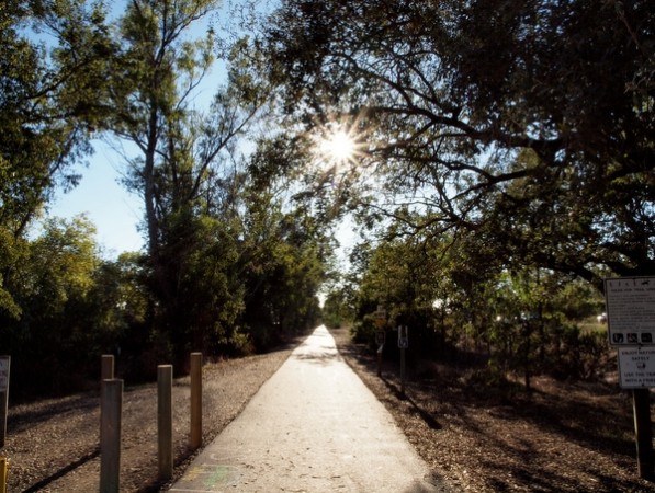
West County Regional Trail
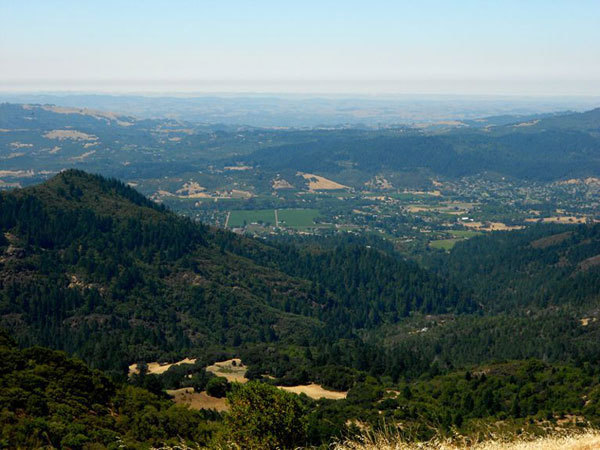
This 5.5-mile trail (one-way) travels from Sebastopol to Forestville and is suitable for everyone, including families with young cyclists. Built along a former railway line, the West County Regional Trail is flat, paved, and scenic (think gorgeous vineyards, barns, and rolling hills).
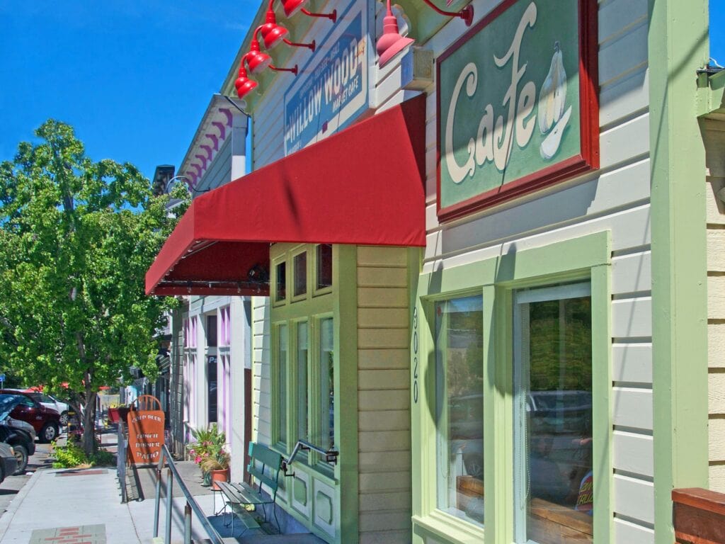
Most of the trail is car-free, and along the way, you’ll find plenty of charming towns to stop and stretch. The trail is easy to follow and officially starts in Sebastopol, or you can shorten the route by starting in the town of Graton.
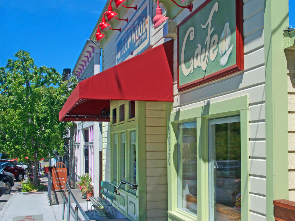
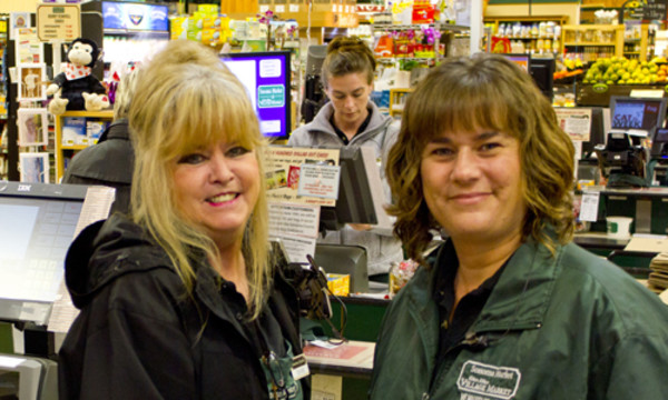
Graton is a great place to pick up a snack. Willow Wood Market Cafe is a popular general store/café with a little something for everyone.
The Hallberg Butterfly Gardens in Sebastopol is a fun place to stop. This nine-acre wildlife sanctuary provides a healthy habitat for dozens of colorful butterflies. The gardens are open on specific days from April through October, and guests are asked to book an appointment to enjoy this enchanting place.
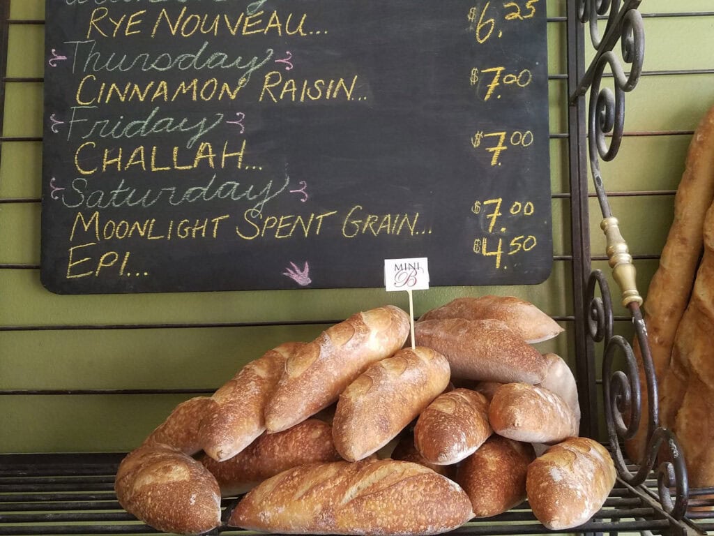
Next, you’ll cruise into Forestville. This tiny town has a big food scene that will tempt the appetite you’ve worked up pedaling. Tiny Town Cafe is a popular coffee shop known for flaky croissants and breakfast sandwiches. Also in town, Nightingale Breads boasts incredible wood-fired bakery treats perfect for replenishing carbs.
Once you’ve refueled and explored, bike back the way you came to complete your journey!
Moderate Route
Dry Creek Valley & Alexander Valley Bike Route
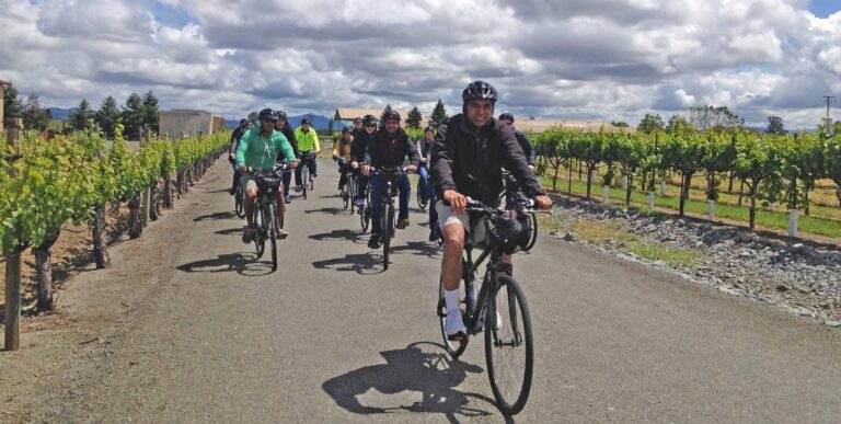
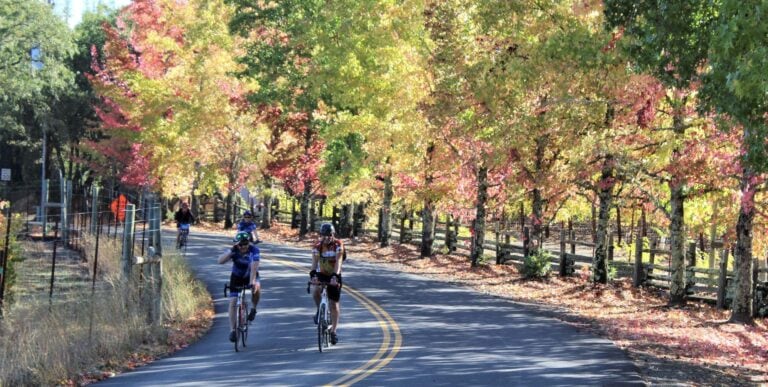
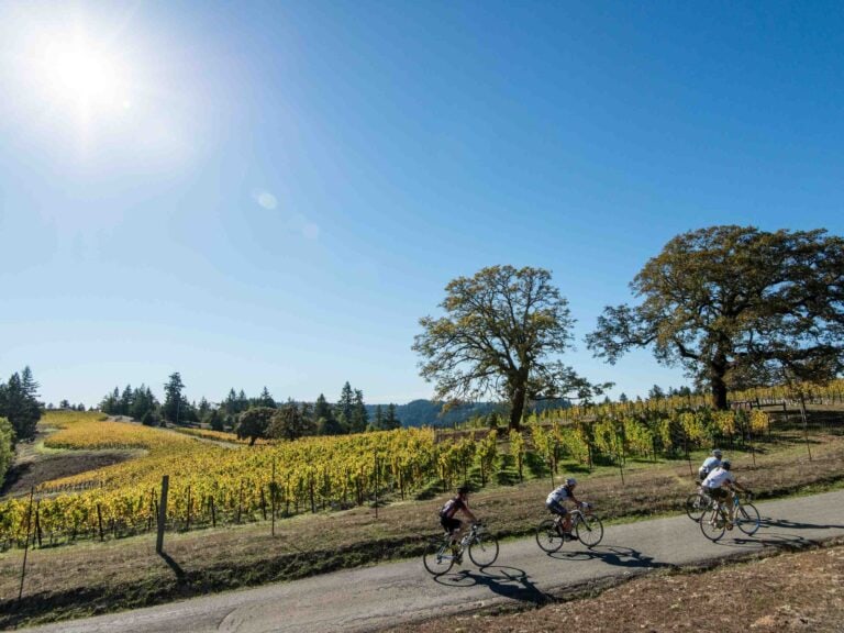
This 30-mile loop, starting in Healdsburg, is arguably one of the most gorgeous Sonoma Wine Country bike routes. Add the opportunity to hop off your bike to sample award-winning wines on a winery’s welcoming patio and this route becomes most memorable.
This loop is mostly flat, though you’ll occasionally pedal uphill for short distances. It’s just right for a warrior cyclist, but if you usually don’t cycle more than a few miles — just take it nice and easy.
The ride starts near Healdsburg’s historical plaza with easy parking nearby. Start your ride south on Grove Street and take a right on Mill Street, which becomes Westside Road. Turn right onto West Dry Creek Road to enjoy expansive views.
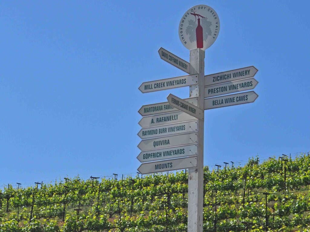
One of the Sonoma Wine Country sights you’ll see is tall signposts pointing in the direction of nearby wineries. Each winery name is on a signage slat, and sometimes, you’ll see posts with slats from tip to ground. When it’s time for a tasting break, you have lots of winery options to explore.
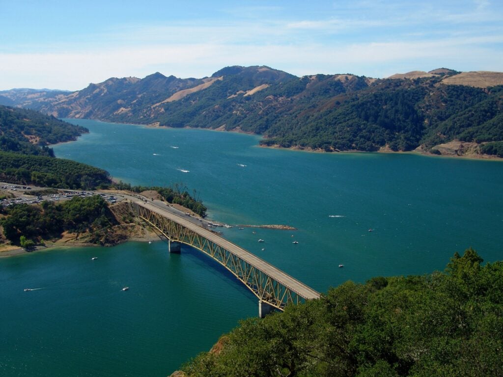
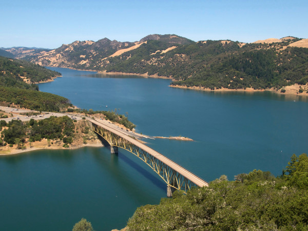
After about 10 miles, turn right onto Yoakim Bridge Road, which crosses over Dry Creek to the beautiful Lake Sonoma.
Turn right — briefly — onto Dry Creek Road; then left onto Canyon Road for a gradual uphill climb. From the top, you descend into Alexander Valley. Turn right onto Geyserville Avenue and into the small town of Geyserville.
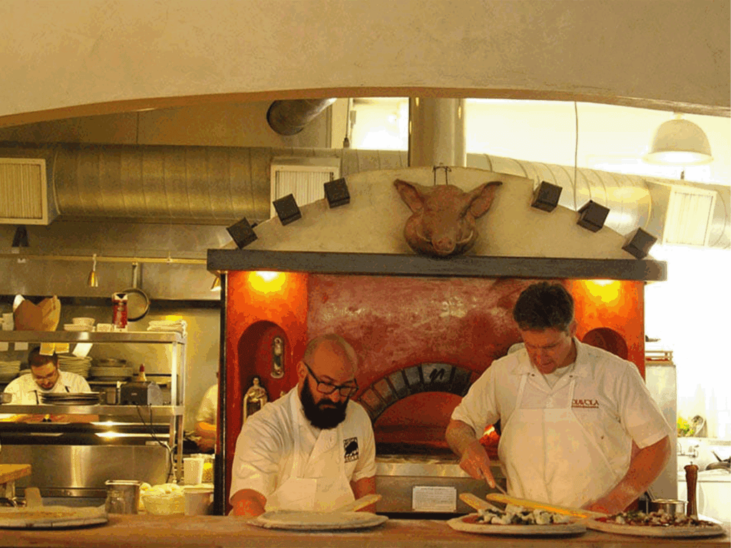
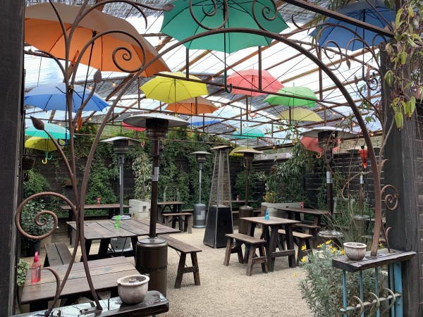
Stop here to delve into excellent Italian-meets-Californian cuisine at Diavola Pizzeria & Salumeria. Chill out on the patio bedecked in climbing greenery and colorful umbrellas, and refuel with white pizzas, roasted beet salads, and salami and cheese boards that star house-cured meats and domestic and imported cheeses.
Head south on Highway 128 to Alexander Valley Road, cross the Russian River, and eventually turn right onto Lytton Station Road. Turn right a mile later onto Lytton Springs Road, and you’ll travel beneath Highway 101 and begin a small uphill climb. At the top, turn onto Chiquita Road.
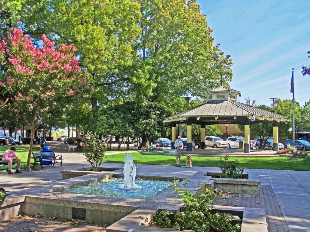
Two miles later, you’ll be back in Healdsburg at your starting point. If you want to make this charming town your home base, you’ll find wineries, tasting rooms, boutiques, museums, Michelin-starred restaurants, and many more things to do in Healdsburg.
For more information, the Santa Rosa Cycling Club offers turn-by-turn instructions for a similar route, with a link to a GPS map.
Bonus ride: If you’re looking for a more moderate route in terms of challenge, check out the Santa Rosa Cycling Club’s Valley of the Moon route. The ride begins and ends at the Glen Ellen Village Market in the tiny town of Glen Ellen. Follow back roads around Sonoma Mountain, then circle through the nearby village of Kenwood. There’s an optional 7-mile round-trip route to Sugarloaf Ridge State Park.
Expert Route
Seaside Town of Jenner/King Ridge/Meyers Grade Loop
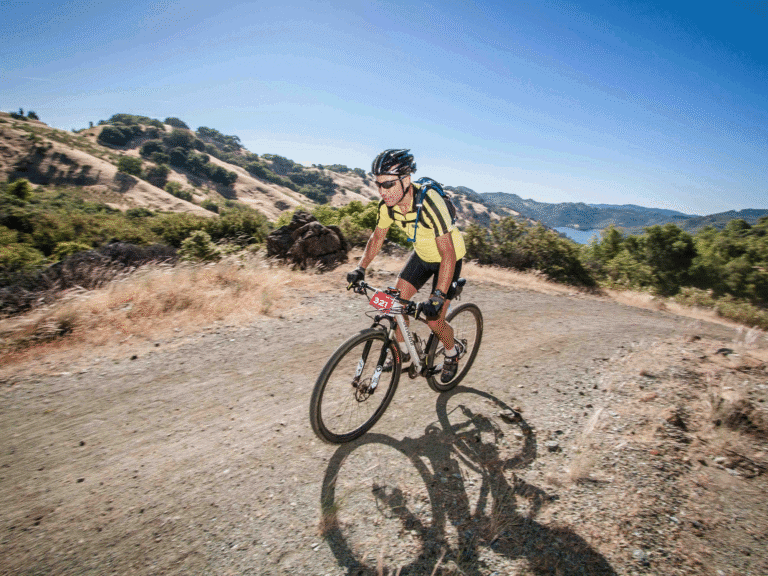
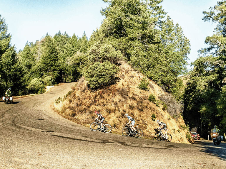
At 55 miles and a 4,500’ elevation gain, this ride — which winds along the Pacific Ocean and Sonoma Coast, through redwoods, and beside the Russian River — is ideal for experienced cyclists aiming for a challenge.

Start your ride in Jenner, a cozy community perched on an oceanside bluff that overlooks the Pacific Ocean.
Head south and turn left onto Highway 116 (also called River Road). Follow the river past the town of Duncans Mills, then turn left onto Austin Creek Road. This lovely stretch has few cars and winds through redwood trees.
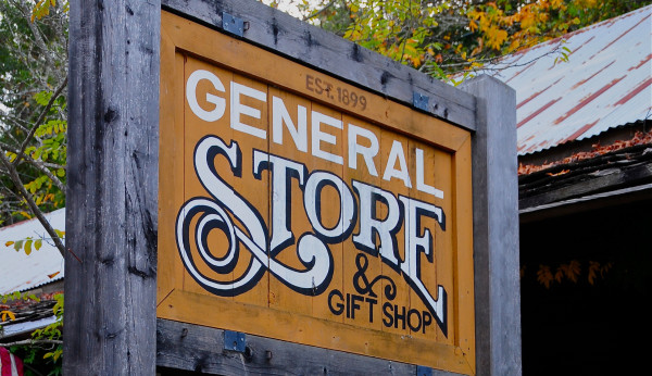
About 6 miles along, turn right on Cazadero Highway and cruise into the tiny town of Cazadero. Raymond’s Bakery is a family-run gem nestled on the site of the Elim Grove Cottages. This delightful spot is a popular destination for pastries, bread, and coffee. You can also pop into Cazadero General Store for juices and made-to-order sandwiches.
Once you’re recharged, hop back in the saddle and continue along Cazadero Highway to a three-way junction where you can take one of two routes:
- King Ridge (the middle fork) if you’re looking for a steep, extra challenge.
- Fort Ross Road (the left fork) is easier and 19 miles shorter.
Whether you choose King Ridge or Fort Ross Road, both are awesomely beautiful, and both eventually end at Meyers Grade, high above the ocean. Take in the spray from waves crashing into hulking sea-stack rocks and look for whales breaching the water’s surface.
Back on your bike, get ready for an amazingly steep downhill ride to Highway 1. Soon, you’ll arrive at Jenner with bragging rights for completing your stunning ride.
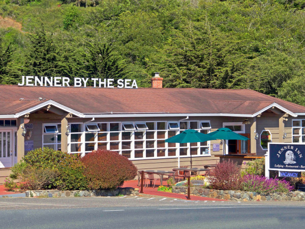
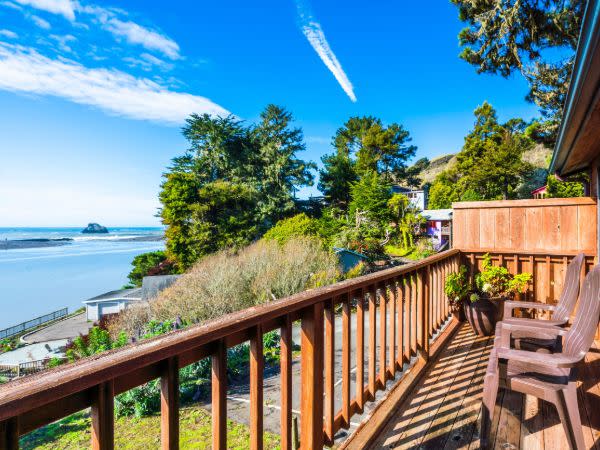
Give your legs a much-deserved rest by spending a few days at the Jenner Inn, where you’ll be treated to ocean views right from your room. In the evening, watch the sunset at River’s End while enjoying fresh, seasonal dishes. Past menus have showcased crab bisque, lamb lollipops, and fresh oyster and wine pairings.
For some time out of the saddle, Jenner offers lots of things to do, from guided kayaking tours and state park exploration to hiking and wine tasting.

The Santa Rosa Cycling Club provides a detailed description of a similar route (we changed the starting point to Jenner), along with a route map, water stops, and turn-by-turn instructions.
Explore Sonoma County cycling tours and rentals and learn about bike trails in Santa Rosa.
Written by Sonoma Insider Suzie Rodriquez


Sonoma-Marin Area Rail Transit — commonly known as the SMART train — provides a convenient and easy way to explore large…
When it comes to cycling, Sonoma County, California, is one of the best destinations on the planet. Come peddle along…
Cyclists visiting Sonoma County have access to a vast network of bike trails within the city of Santa Rosa –…
From paved routes along former railroad tracks to paths through vineyards and along the coast — Sonoma County is a…
Whether you like cycling through flat wetlands with wildlife, the shaded majesty of a redwood forest, or undulant vineyards and…
Slowing down and savoring experiences is a key value in visiting Wine Country, and there’s no better way to explore…
THIS IS WINE COUNTRY.
Share your experience using #SonomaCounty or #LifeOpensUp